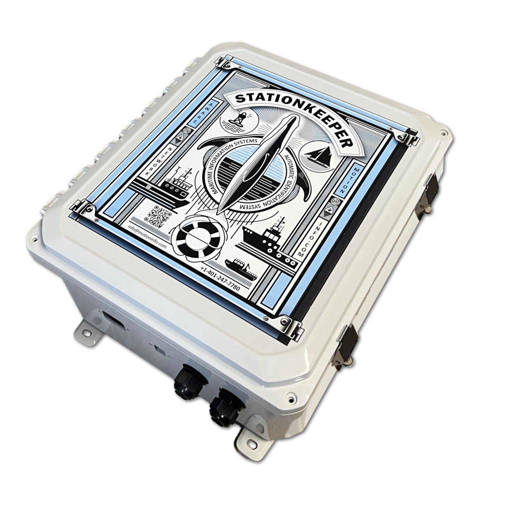
StationKeeper
Real-time vessel monitoring and targeted AIS messaging supporting North Atlantic Right Whale conservation efforts in partnership with government agencies and environmental organizations.
NARW Status
~380
Whales remain
142
Injured since 2017
72
Reproductive females
Video provided by GADNR/NOAA Permit #26919
Working Toward a Solution
StationKeeper applies MotionInfo’s AIS network to support North Atlantic Right Whale conservation, combining real-time vessel monitoring with integrated whale detection to enable targeted communication.
Main Threats
Vessel Strikes
Vessel strikes pose a significant threat to the endangered North Atlantic Right Whale, as well as putting smaller vessels and passengers at risk.
◆ Cause fatalities and injuries to whales
◆ Damage boats and risks passenger safety
◆ Whale locations shift in real time
◆ Disrupt core habitats within busy East Coast waters
Potential Solution
NOAA Speed Rule
Current NOAA speed rules reduce the severity and frequency of collisions by requiring a 10 knot speed limit for vessels over 65 feet in NARW habitats.
◆ SEASONAL – Mandatory speed restrictions in migration and congregation areas
◆ DYNAMIC – Voluntary speed reduction in areas of NARW congregation
AIS
Automatic Identification Systems (AIS) can remotely and automatically warn vessels to slow down in protected areas or when a whale is detected in their vicinity.
Trial Evaluation
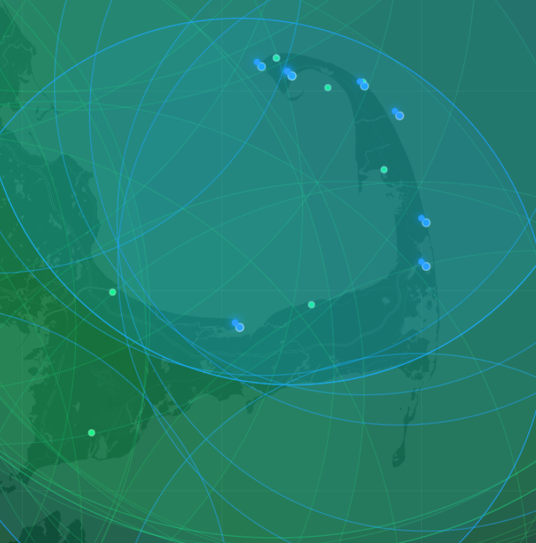
Stellwagen Test
During March and April of 2024 a pilot project was conducted in Cape Cod Bay to send targeted messages to vessels out of compliance with the speed rules.
◆ 60 day test during Spring 2024 in Cape Cod Bay
◆ 2 AIS transceivers monitor traffic and message vessels exceeding 10 knots
◆ 10nm Majority of vessels slowed to compliance
For StationKeeper Hosts
Access official logos, outreach materials, social media graphics, and downloadable documents to help share your participation in the StationKeeper initiative.
Promote your location’s role in supporting whale protection, vessel awareness, and safer coastal waterways.
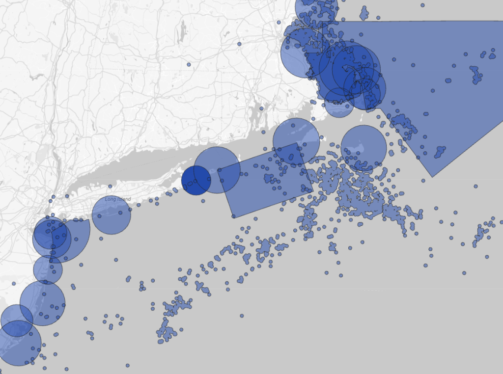
Field Deployment – Cape Cod Bay 2024
Targeted AIS messaging evaluated in a live conservation environment to improve vessel compliance within Right Whale protection zones.
Deployment Overview
◆ Duration: 60 days (March–April 2024)
◆ Coverage: ~10 nautical mile monitored area
◆ Infrastructure: 2 AIS transmit/receive stations
◆ Monitoring: Continuous vessel speed and position
Objective
◆ Improve compliance with NOAA speed restrictions
◆ Increase real-time awareness in active whale zones
Observed Impact
◆ Majority of targeted vessels reduced speed
◆ Improved awareness of active protection zones
◆ Real-time messaging proved effective in-field
Targeted AIS Messaging
Marine Notifications
AIS enhances maritime safety by providing real-time data on vessel identity, position, speed, and navigational status. This information is automatically shared with shore stations, other vessels, and aircraft.
AIS Safety-Related Messages: Transmit urgent safety and navigational information directly to vessels and authorities.
AIS Virtual Markers: Electronically indicate hazards or important locations on navigational systems.
AIS Geographic Notices: Provide real-time updates on specific navigational rules or restrictions for defined areas.
Supporting Conservation Through AIS Awareness
AIS technology helps researchers, conservation organizations, and coastal communities better understand vessel activity in and around sensitive marine environments.
How StationKeeper Uses AIS
The Automatic Identification System (AIS) is an internationally recognized maritime safety technology used by vessels worldwide. StationKeeper stations receive AIS transmissions and contribute to a growing network that helps improve awareness of vessel activity along our coasts. This information supports conservation initiatives, educational programs, research efforts, and maritime safety.
◆ Whale Protection
◆ Habitat Awareness
◆ Research Support
◆ Coastal Stewardship
◆ Maritime Safety
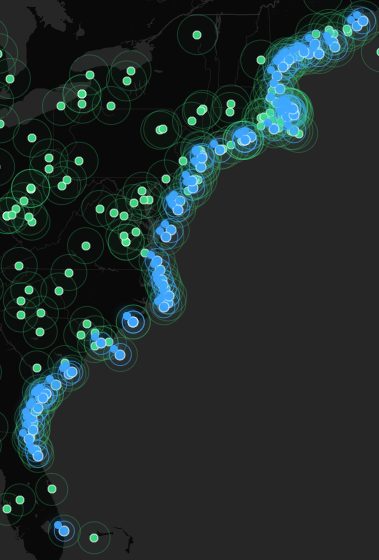
StationKeeper
Network
A growing network of coastal monitoring stations working together to improve awareness of vessel activity in and around sensitive marine environments.
Applications
StationKeeper supports conservation, research, maritime safety, and environmental stewardship by providing greater visibility into vessel activity and long-term traffic patterns.
Data
Real-time and historic AIS data supporting monitoring, analysis, and reporting within protected marine environments.
Real-Time
Continuous data enables active monitoring and immediate response within defined conservation zones.
◆ Live vessel position and speed
◆ Continuous monitoring within active areas
◆ Immediate identification of threshold events
◆ Supports real-time messaging and intervention
Historic
Collected data supports analysis, reporting, and long-term evaluation of vessel behavior and compliance.
◆ Compliance tracking over time
◆ Incident reconstruction and review
◆ Traffic pattern and density analysis
◆ Environmental and whale data