Marine
Vessel activity and communication across managed waterways.
AIS-based vessel movement captured and structured for operational awareness, with controlled messaging within defined and regulated areas.
Vessel Activity
Persistent tracking across coastal and inland environments.
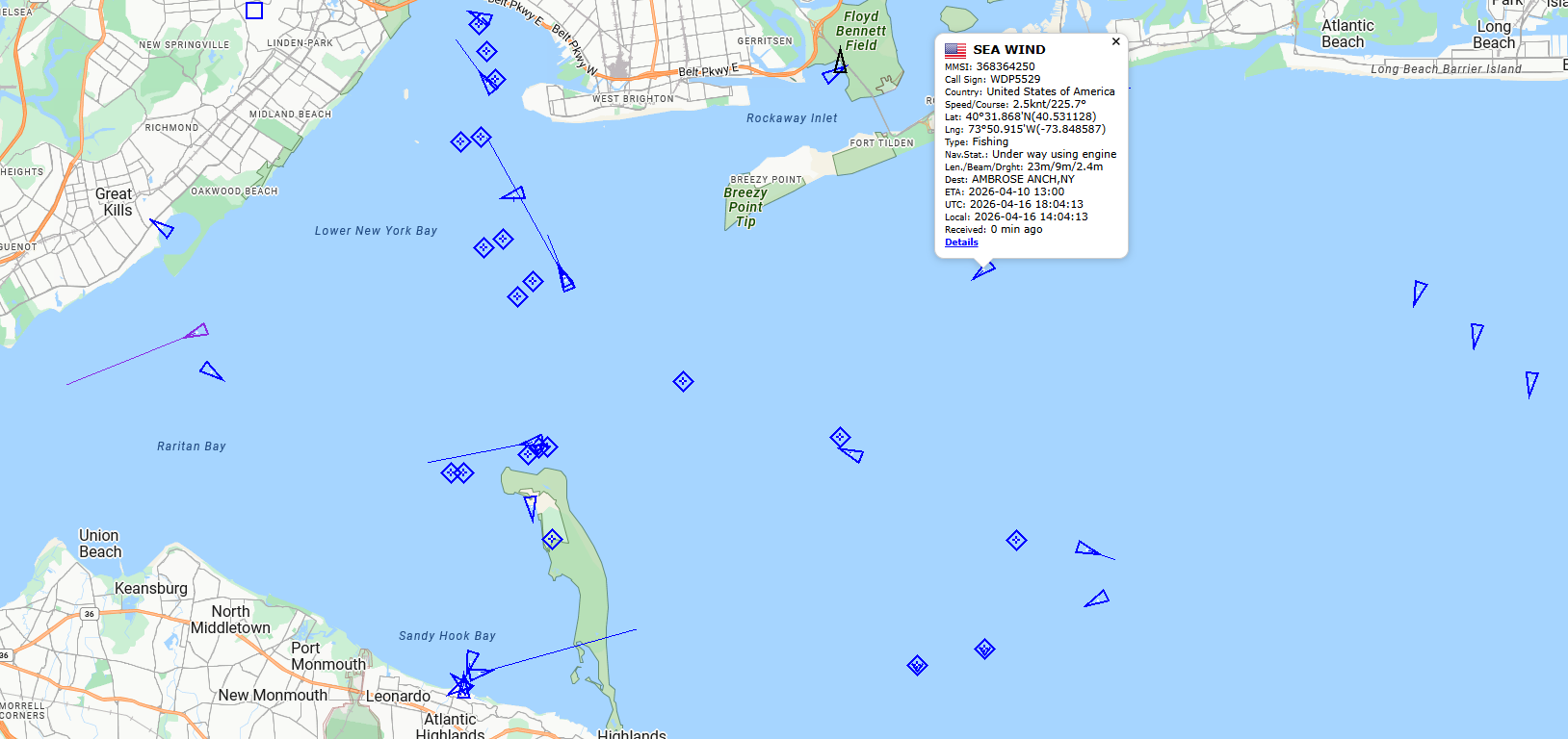
Vessel movement across coastal waters, inland waterways, and port environments, including identity, type, position, speed, and behavior.
Coverage extends beyond local receivers through the MotionInfo network.
Managed Waterways
Monitoring within defined and regulated operational areas.
Activity is structured around designated zones, including conservation areas, seasonal restrictions, temporary corridors, and controlled waterways.
◆ Conservation and seasonal zones
◆ Temporary right-of-way corridors
◆ Port and harbor control areas
Controlled Messaging
Direct vessel communication within regulated zones.
AIS messaging enables communication with vessels operating within defined areas, supporting compliance, coordination, and enforcement where approved.
◆ Site-specific configuration
◆ Defined broadcast zones
◆ Restricted message types and logging
Integrated Data Sources
Enhanced awareness through integrated inputs.
The network incorporates external data sources where required, extending visibility and supporting mission-specific operations.
◆ Environmental and event-based overlays
◆ Satellite AIS for extended coverage
◆ Third-party data integration
Regulatory and Environmental Use
Supporting compliance and coordinated operations.
The system supports environments where monitoring and communication are required for regulatory, safety, and mission-driven operations across agencies and jurisdictions.
Network Coverage
Consistent visibility across coastal and inland environments.
Coverage
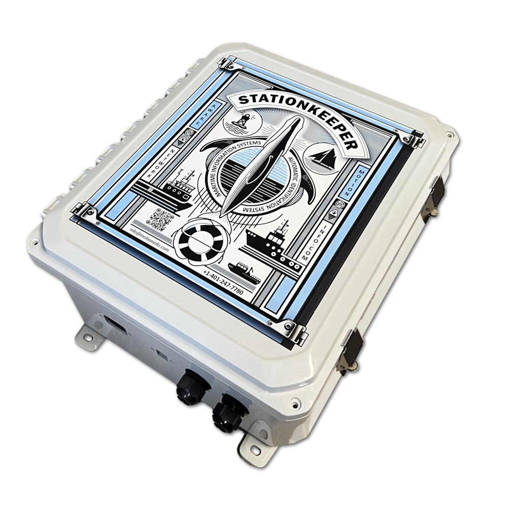
Monitoring extends across coastal waters, inland waterways, and port environments through deployed stations.
◆ Coastal and inland coverage
◆ Port and harbor monitoring
◆ Extended range beyond local systems
Consistency
Data is structured uniformly across locations, enabling consistent monitoring and reporting.
◆ Standardized data
◆ Comparable outputs
◆ Consistent structure
Example Outputs
Data aligned to operational control and reporting.
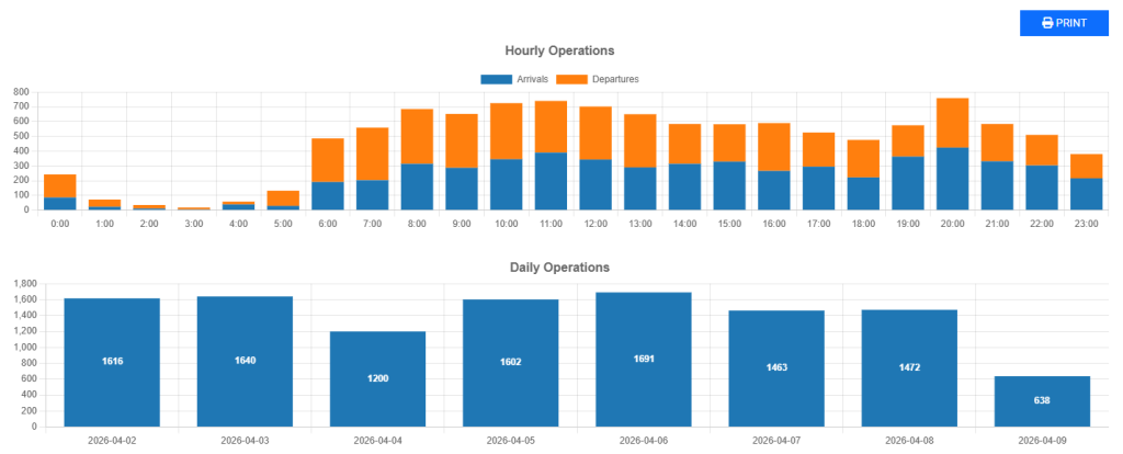
Outputs are structured to support monitoring, analysis, and incident review.
◆ Vessel activity summaries
◆ Traffic density and movement trends
◆ Zone-based activity monitoring
◆ Messaging and alert logs
Using the Network
The same network supports aviation, marine, and asset monitoring applications.
Access to the network is provided through APIs, configured data services, and deployments where required.